Turnoff for Banchory-Devenick
Introduction
The photograph on this page of Turnoff for Banchory-Devenick by C Michael Hogan as part of the Geograph project.
The Geograph project started in 2005 with the aim of publishing, organising and preserving representative images for every square kilometre of Great Britain, Ireland and the Isle of Man.

There are currently over 7.5m images from over 14,400 individuals and you can help contribute to the project by visiting https://www.geograph.org.uk
Turnoff for Banchory-Devenick
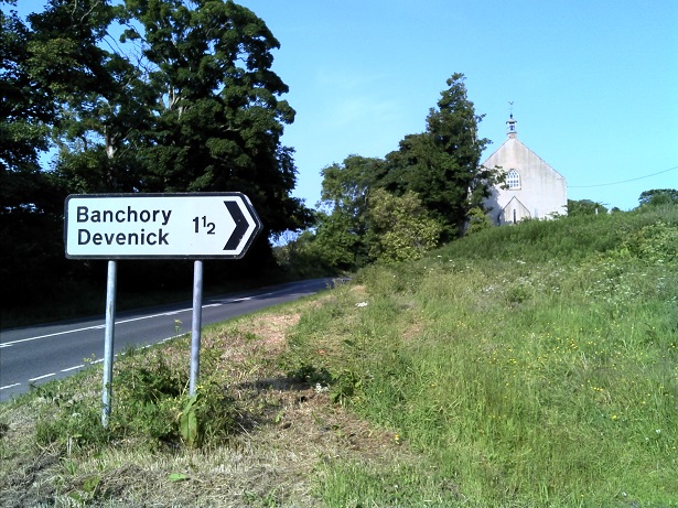
Image: © C Michael Hogan Taken: 5 Jul 2013
This is the T-junction at the South Deeside Road. The photographer is standing slightly to the south of South Deeside Road.
Images are licensed for reuse under creativecommons.org/licenses/by-sa/2.0
Image Location
Latitude
57.113083
Longitude
-2.156673