Barn at Moor
Introduction
The photograph on this page of Barn at Moor by Derek Harper as part of the Geograph project.
The Geograph project started in 2005 with the aim of publishing, organising and preserving representative images for every square kilometre of Great Britain, Ireland and the Isle of Man.

There are currently over 7.5m images from over 14,400 individuals and you can help contribute to the project by visiting https://www.geograph.org.uk
Barn at Moor
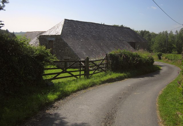
Image: © Derek Harper Taken: 5 Jul 2013
This fine slate-roofed granite barn - three farm buildings in one L-shape really - is described briefly at http://list.english-heritage.org.uk/resultsingle.aspx?uid=1309624&searchtype=mapsearch . This is on the lane from Hanger Down to Moor Cross.
Images are licensed for reuse under creativecommons.org/licenses/by-sa/2.0
Image Location
Latitude
50.412064
Longitude
-3.956256