The Klondyke, western section
Introduction
The photograph on this page of The Klondyke, western section by Carl Grove as part of the Geograph project.
The Geograph project started in 2005 with the aim of publishing, organising and preserving representative images for every square kilometre of Great Britain, Ireland and the Isle of Man.

There are currently over 7.5m images from over 14,400 individuals and you can help contribute to the project by visiting https://www.geograph.org.uk
The Klondyke, western section
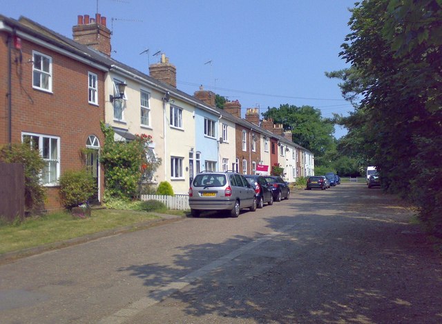
Image: © Carl Grove Taken: 5 Jul 2013
A gravelled road in three distinct sections: the western part, with a few old cottages; a central area comprising a footpath in a narrow strip of grass; and an eastern section with a few houses and bungalows.
Images are licensed for reuse under creativecommons.org/licenses/by-sa/2.0
Image Location
Latitude
52.257216
Longitude
0.703846