Llwybr Wenallt / Wenallt footpath
Introduction
The photograph on this page of Llwybr Wenallt / Wenallt footpath by Alan Richards as part of the Geograph project.
The Geograph project started in 2005 with the aim of publishing, organising and preserving representative images for every square kilometre of Great Britain, Ireland and the Isle of Man.

There are currently over 7.5m images from over 14,400 individuals and you can help contribute to the project by visiting https://www.geograph.org.uk
Llwybr Wenallt / Wenallt footpath
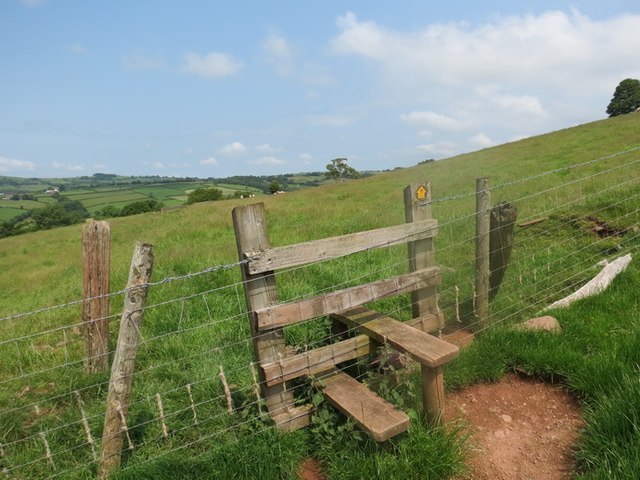
Image: © Alan Richards Taken: 5 Jul 2013
Sticil ar lwybr cyhoeddus a arwain lan o Ffarm Alltwen at heol werdd - hen ffordd a gysyllta Ffarm Tredomen â Chwmdu ac sy wedi ei hesgeuluso'n wael. A stile on a path leading upwards from Wenallt Farm (trans. fairwood) in the direction of an old green road (badly neglected) which links Tredomen (trans. mound farmstead) with that of Cwm Du (trans. black valley).
Images are licensed for reuse under creativecommons.org/licenses/by-sa/2.0
Image Location
Latitude
51.89935
Longitude
-3.798111