Side road from The Pavilion to the old pavilion, Stroud
Introduction
The photograph on this page of Side road from The Pavilion to the old pavilion, Stroud by Jaggery as part of the Geograph project.
The Geograph project started in 2005 with the aim of publishing, organising and preserving representative images for every square kilometre of Great Britain, Ireland and the Isle of Man.

There are currently over 7.5m images from over 14,400 individuals and you can help contribute to the project by visiting https://www.geograph.org.uk
Side road from The Pavilion to the old pavilion, Stroud
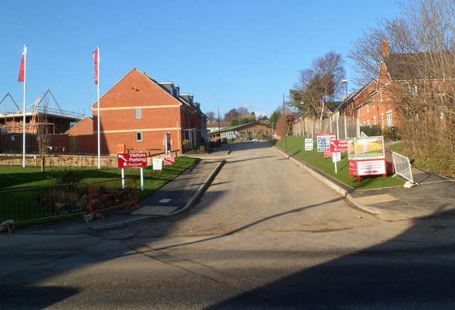
Image: © Jaggery Taken: 15 Jan 2012
The road leads from Stratford Road past new houses in a development named The Pavilion http://www.geograph.org.uk/photo/3542551 towards a former cricket pavilion in what used to be Stroud Cricket Club's ground. The club has relocated.
Images are licensed for reuse under creativecommons.org/licenses/by-sa/2.0
Image Location
Latitude
51.748958
Longitude
-2.231137