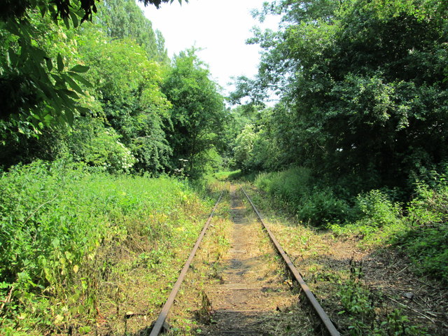
Disused railway line near Llynclys
Introduction
The photograph on this page of Disused railway line near Llynclys by David Weston as part of the Geograph project.
The Geograph project started in 2005 with the aim of publishing, organising and preserving representative images for every square kilometre of Great Britain, Ireland and the Isle of Man.
There are currently over 7.5m images from over 14,400 individuals and you can help contribute to the project by visiting https://www.geograph.org.uk

Image: © David Weston Taken: 5 Jul 2013
The line was 'mothballed' in 1998; from about 100 yards west of this photo (behind the camera), the rails have been removed. This was a branch of the Cambrian Railway to the quarries at Porthywaen. West of the original end, it was extended to Llangynog, following the valley of the Afon Tanat, as the Tanant Light Railway in the early 20th Century. The line was closed West of Blodwell during the 1950s. More information of the history of this line can be found at http://www.cambrianrailways.com/html/history.html , together with information on the active restoration of the Cambrian railway line from Oswestry southwards.

