Seanor Lane
Introduction
The photograph on this page of Seanor Lane by Alan Walker as part of the Geograph project.
The Geograph project started in 2005 with the aim of publishing, organising and preserving representative images for every square kilometre of Great Britain, Ireland and the Isle of Man.

There are currently over 7.5m images from over 14,400 individuals and you can help contribute to the project by visiting https://www.geograph.org.uk
Seanor Lane
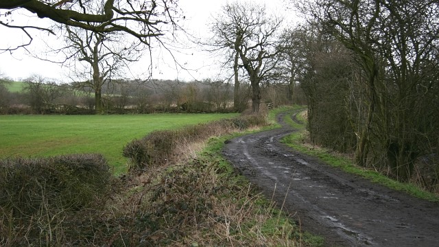
Image: © Alan Walker Taken: 28 Feb 2007
This section of Seanor Lane is a constructed from compacted stones and earth. Ahead, where the lane ends, the route continues as a bridleway leading to the Five Pits Trail at Timber Lane. This bridleway is also linked to a number of footpaths, including one to Image near Waterloo. For a more easterly (ahead) photograph of Seanor Lane but looking back, toward this viewpoint, click here Image A few metres behind this viewpoint is the eastern end of the 'metalled' http://en.wikipedia.org/wiki/Paved section of Image, Lower Pilsley.
Images are licensed for reuse under creativecommons.org/licenses/by-sa/2.0
Image Location
Latitude
53.171308
Longitude
-1.378083