South Ward Farm overlooking River Tamar
Introduction
The photograph on this page of South Ward Farm overlooking River Tamar by David Smith as part of the Geograph project.
The Geograph project started in 2005 with the aim of publishing, organising and preserving representative images for every square kilometre of Great Britain, Ireland and the Isle of Man.

There are currently over 7.5m images from over 14,400 individuals and you can help contribute to the project by visiting https://www.geograph.org.uk
South Ward Farm overlooking River Tamar
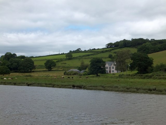
Image: © David Smith Taken: 3 Jul 2013
The farm lies on one of the two silver lodes that cross the Bere Ferrers peninsula. Ward Mine is just to the north. The farm is named in medieval documents, but the present house is comparatively recent.
Images are licensed for reuse under creativecommons.org/licenses/by-sa/2.0
Image Location
Latitude
50.486333
Longitude
-4.218152