The quay at Hole's Hole
Introduction
The photograph on this page of The quay at Hole's Hole by David Smith as part of the Geograph project.
The Geograph project started in 2005 with the aim of publishing, organising and preserving representative images for every square kilometre of Great Britain, Ireland and the Isle of Man.

There are currently over 7.5m images from over 14,400 individuals and you can help contribute to the project by visiting https://www.geograph.org.uk
The quay at Hole's Hole
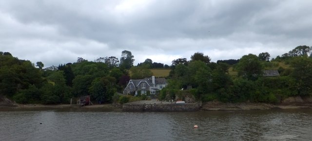
Image: © David Smith Taken: 3 Jul 2013
A stone-built quay juts into the River Tamar. I would surmise that the building is Victorian, when there were several mines in the area and the river was the main artery of communication
Images are licensed for reuse under creativecommons.org/licenses/by-sa/2.0
Image Location


Leaflet Map data © OpenStreetMap
Latitude
50.465835
Longitude
-4.212965