Cycle way under Pembrey Road
Introduction
The photograph on this page of Cycle way under Pembrey Road by Richard Dorrell as part of the Geograph project.
The Geograph project started in 2005 with the aim of publishing, organising and preserving representative images for every square kilometre of Great Britain, Ireland and the Isle of Man.

There are currently over 7.5m images from over 14,400 individuals and you can help contribute to the project by visiting https://www.geograph.org.uk
Cycle way under Pembrey Road
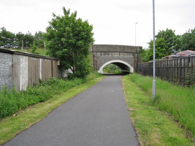
Image: © Richard Dorrell Taken: 17 Jun 2013
This is part of the Swiss Valley Cycle Route which follows a disused railway line that climbs gently from the Millennium Coastal Park into the hills above Llanelli.
Images are licensed for reuse under creativecommons.org/licenses/by-sa/2.0
Image Location
Latitude
51.683857
Longitude
-4.172919