Former rugby club ground
Introduction
The photograph on this page of Former rugby club ground by Richard Dorrell as part of the Geograph project.
The Geograph project started in 2005 with the aim of publishing, organising and preserving representative images for every square kilometre of Great Britain, Ireland and the Isle of Man.

There are currently over 7.5m images from over 14,400 individuals and you can help contribute to the project by visiting https://www.geograph.org.uk
Former rugby club ground
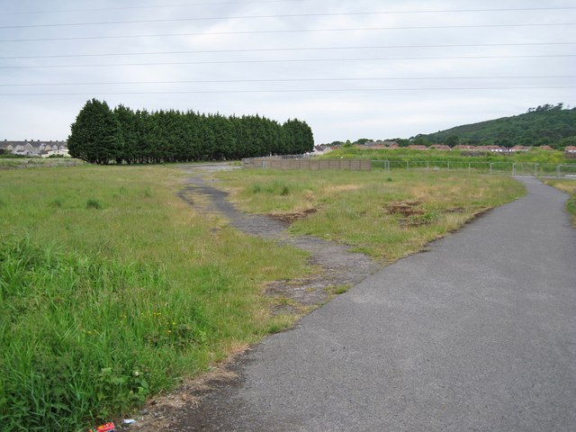
Image: © Richard Dorrell Taken: 17 Jun 2013
The fenced area is the site of the former stands and pitch of the Llanelli Rugby Club. The club has now moved to new premises, and this site is about to be redeveloped as a housing estate.
Images are licensed for reuse under creativecommons.org/licenses/by-sa/2.0
Image Location
Latitude
51.686272
Longitude
-4.173613