Newbold Road in Barlestone
Introduction
The photograph on this page of Newbold Road in Barlestone by Mat Fascione as part of the Geograph project.
The Geograph project started in 2005 with the aim of publishing, organising and preserving representative images for every square kilometre of Great Britain, Ireland and the Isle of Man.

There are currently over 7.5m images from over 14,400 individuals and you can help contribute to the project by visiting https://www.geograph.org.uk
Newbold Road in Barlestone
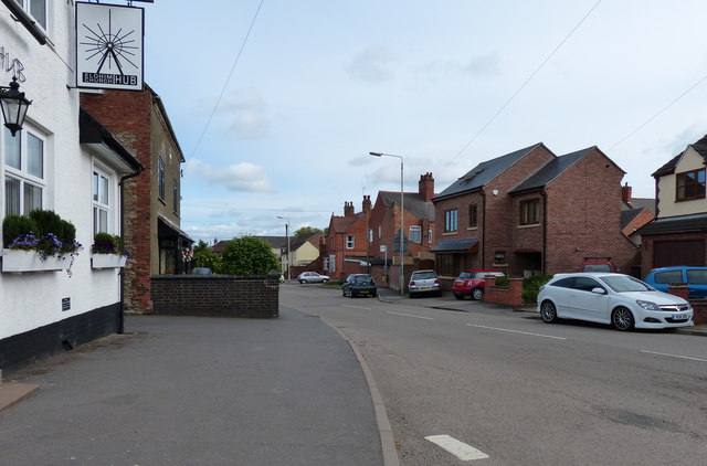
Image: © Mat Fascione Taken: 16 Jun 2013
On the left is the Elohim Church Hub, formerly the Jolly Toper public house.
Images are licensed for reuse under creativecommons.org/licenses/by-sa/2.0
Image Location
Latitude
52.647176
Longitude
-1.369135