Northern boundary of Pengam
Introduction
The photograph on this page of Northern boundary of Pengam by Jaggery as part of the Geograph project.
The Geograph project started in 2005 with the aim of publishing, organising and preserving representative images for every square kilometre of Great Britain, Ireland and the Isle of Man.

There are currently over 7.5m images from over 14,400 individuals and you can help contribute to the project by visiting https://www.geograph.org.uk
Northern boundary of Pengam
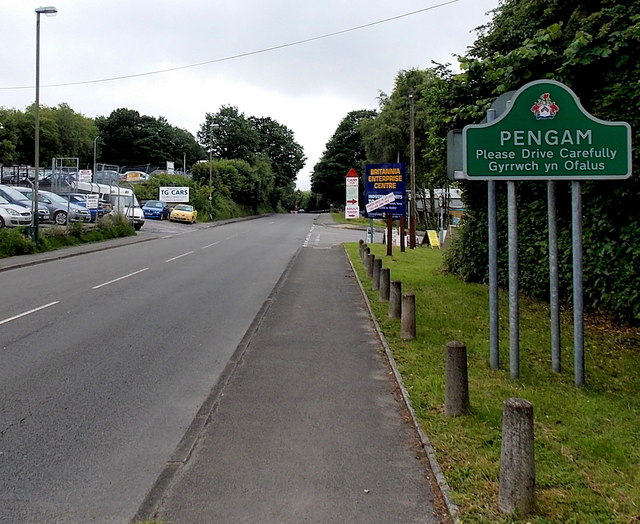
Image: © Jaggery Taken: 4 Jul 2013
The A4049 leaves the hamlet of Britannia and enters the village of Pengam. Both locations are in Caerphilly county borough. The Britannia boundary sign http://www.geograph.org.uk/photo/3539951 is back to back with the Pengam sign. Ahead is the entrance http://www.geograph.org.uk/photo/3539963 to Britannia Enterprise Centre.
Images are licensed for reuse under creativecommons.org/licenses/by-sa/2.0
Image Location
Latitude
51.675527
Longitude
-3.217799