Pavilion and cafe, King George's Field
Introduction
The photograph on this page of Pavilion and cafe, King George's Field by Richard Dorrell as part of the Geograph project.
The Geograph project started in 2005 with the aim of publishing, organising and preserving representative images for every square kilometre of Great Britain, Ireland and the Isle of Man.

There are currently over 7.5m images from over 14,400 individuals and you can help contribute to the project by visiting https://www.geograph.org.uk
Pavilion and cafe, King George's Field
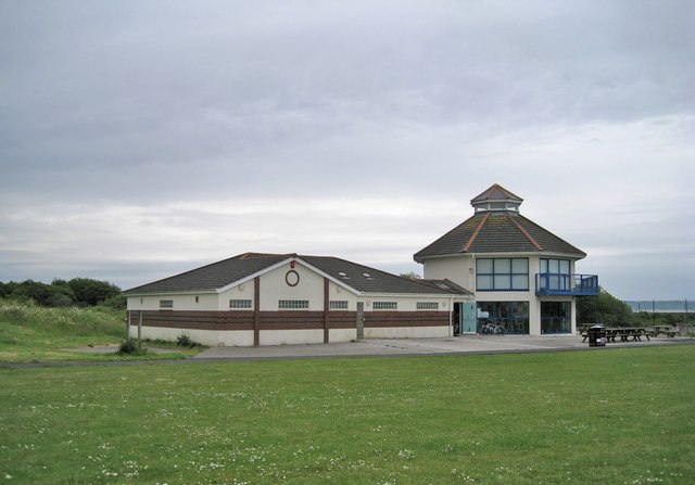
Image: © Richard Dorrell Taken: 17 Jun 2013
King George's Field lies between the A484 Pwll Road and the coast.
Images are licensed for reuse under creativecommons.org/licenses/by-sa/2.0
Image Location
Latitude
51.685916
Longitude
-4.207161