Aldersnap Farm, Melstock Farm & Collyers
Introduction
The photograph on this page of Aldersnap Farm, Melstock Farm & Collyers by Martyn Pattison as part of the Geograph project.
The Geograph project started in 2005 with the aim of publishing, organising and preserving representative images for every square kilometre of Great Britain, Ireland and the Isle of Man.

There are currently over 7.5m images from over 14,400 individuals and you can help contribute to the project by visiting https://www.geograph.org.uk
Aldersnap Farm, Melstock Farm & Collyers
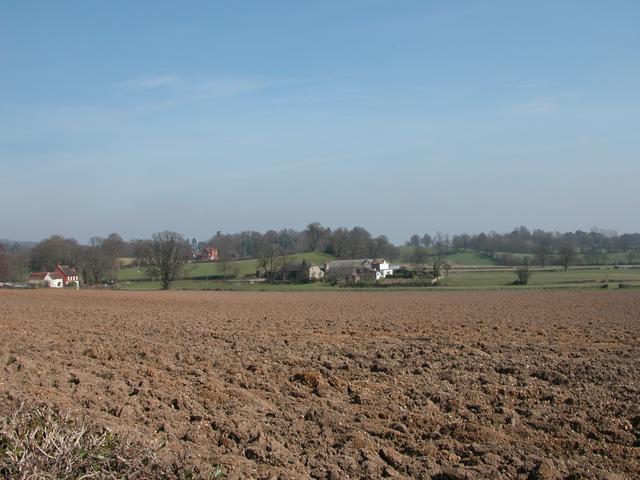
Image: © Martyn Pattison Taken: 16 Mar 2005
This area is all arable farmland, with the A3 Petersfield Bypass cutting off the SE corner.
Images are licensed for reuse under creativecommons.org/licenses/by-sa/2.0
Image Location
Latitude
51.01257
Longitude
-0.962201