Far Water Foot
Introduction
The photograph on this page of Far Water Foot by Robert Ashby as part of the Geograph project.
The Geograph project started in 2005 with the aim of publishing, organising and preserving representative images for every square kilometre of Great Britain, Ireland and the Isle of Man.

There are currently over 7.5m images from over 14,400 individuals and you can help contribute to the project by visiting https://www.geograph.org.uk
Far Water Foot
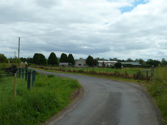
Image: © Robert Ashby Taken: 3 Jul 2013
The airfield road is a quiet lane which loops round through Far Water Foot from the Creagh Rd to the B18 Aughrim Rd.
Images are licensed for reuse under creativecommons.org/licenses/by-sa/2.0
Image Location
Latitude
54.745584
Longitude
-6.512511