Lane at entrance to Plas Ucha
Introduction
The photograph on this page of Lane at entrance to Plas Ucha by John Firth as part of the Geograph project.
The Geograph project started in 2005 with the aim of publishing, organising and preserving representative images for every square kilometre of Great Britain, Ireland and the Isle of Man.

There are currently over 7.5m images from over 14,400 individuals and you can help contribute to the project by visiting https://www.geograph.org.uk
Lane at entrance to Plas Ucha
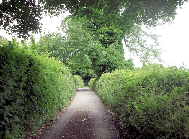
Image: © John Firth Taken: 4 Jul 2013
Plas Ucha is behind hedge - the roof can just be seen
Images are licensed for reuse under creativecommons.org/licenses/by-sa/2.0
Image Location
Latitude
52.839316
Longitude
-3.115307