Culverden Evangelical Church
Introduction
The photograph on this page of Culverden Evangelical Church by N Chadwick as part of the Geograph project.
The Geograph project started in 2005 with the aim of publishing, organising and preserving representative images for every square kilometre of Great Britain, Ireland and the Isle of Man.

There are currently over 7.5m images from over 14,400 individuals and you can help contribute to the project by visiting https://www.geograph.org.uk
Culverden Evangelical Church
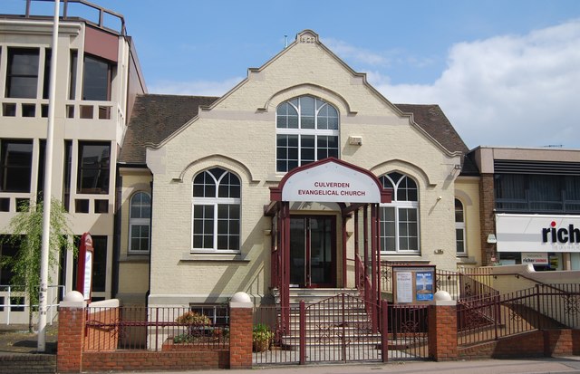
Image: © N Chadwick Taken: 6 May 2013
Dated 1923 on its gable and registered for marriages (under the name Culverden Hall) in February 1927, this chapel on St John's Road is used for worship by Open Brethren.
Images are licensed for reuse under creativecommons.org/licenses/by-sa/2.0
Image Location
Latitude
51.138016
Longitude
0.261647