Carnkie
Introduction
The photograph on this page of Carnkie by Tony Atkin as part of the Geograph project.
The Geograph project started in 2005 with the aim of publishing, organising and preserving representative images for every square kilometre of Great Britain, Ireland and the Isle of Man.

There are currently over 7.5m images from over 14,400 individuals and you can help contribute to the project by visiting https://www.geograph.org.uk
Carnkie
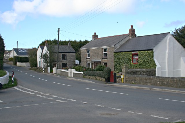
Image: © Tony Atkin Taken: 3 Mar 2007
Carnkie is a small village with a varied history, starting out as a small group of houses inhabited by workers at local quarries. The village grew rapidly in the 19th century as it found itself at the centre of intense mining activity. In the late 20th century some older houses have been renovated and others replaced by modern bungalows.
Images are licensed for reuse under creativecommons.org/licenses/by-sa/2.0
Image Location
Latitude
50.213866
Longitude
-5.243953