Hay meadows at the Lewiston crofts, Glenurquhart
Introduction
The photograph on this page of Hay meadows at the Lewiston crofts, Glenurquhart by John S Ross as part of the Geograph project.
The Geograph project started in 2005 with the aim of publishing, organising and preserving representative images for every square kilometre of Great Britain, Ireland and the Isle of Man.

There are currently over 7.5m images from over 14,400 individuals and you can help contribute to the project by visiting https://www.geograph.org.uk
Hay meadows at the Lewiston crofts, Glenurquhart
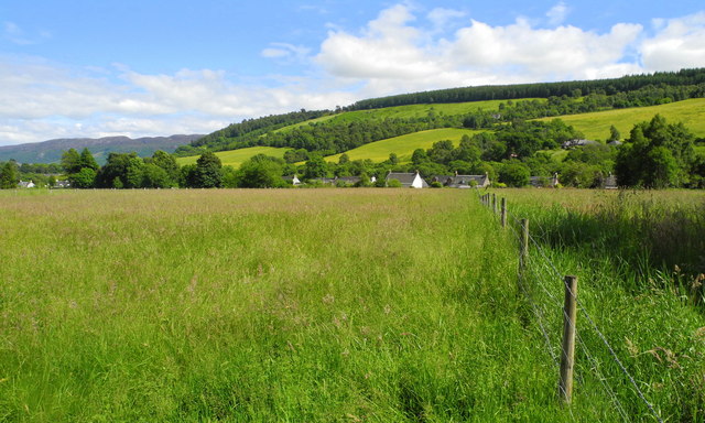
Image: © John S Ross Taken: 3 Jul 2013
The village of Lewiston, now part of Drumnadrochit, was created in 1767 by Sir James Grant (the Good Sir James), who named it after his son. The Good Sir James foresaw the economic difficulties that would be brought about by the collapse of the clan system after the battle of Culloden, 1746. Needing to improve the agricultural potential of his land, he did not follow the example of others and clear his tenants from their traditionally held holdings, but relocated them in Lewiston, where each had a cottage and croft. To increase employment prospects he built spinning mills at nearby 'Bal a Mhuillinn' or as it is known today, Milton.
Images are licensed for reuse under creativecommons.org/licenses/by-sa/2.0
Image Location
Latitude
57.326429
Longitude
-4.479682