Riverside foot and cycle path
Introduction
The photograph on this page of Riverside foot and cycle path by Oliver Dixon as part of the Geograph project.
The Geograph project started in 2005 with the aim of publishing, organising and preserving representative images for every square kilometre of Great Britain, Ireland and the Isle of Man.

There are currently over 7.5m images from over 14,400 individuals and you can help contribute to the project by visiting https://www.geograph.org.uk
Riverside foot and cycle path
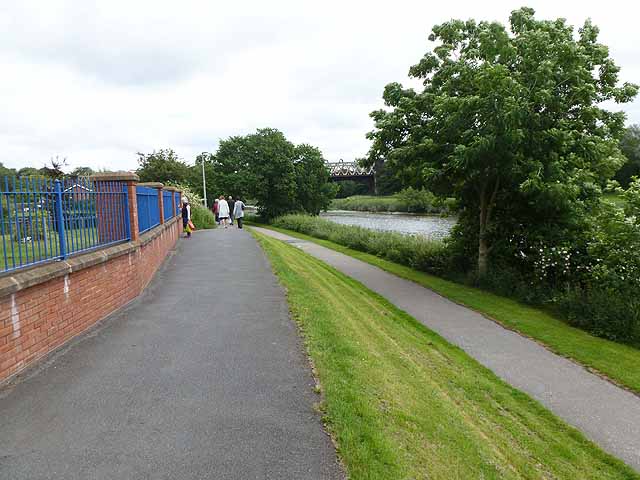
Image: © Oliver Dixon Taken: 29 Jun 2013
Just west of Avenham Park on the north bank of the Ribble. The lower path forms part of the Guild Wheel, National Cycle Network route 622, a 34 kilometre circular cycle route round Preston which was inaugurated to commemorate the 2012 Preston Guild. The upper path forms part of the Ribble Way, a 117 km long distance path which follows the River Ribble from its source to its mouth.
Images are licensed for reuse under creativecommons.org/licenses/by-sa/2.0
Image Location
Latitude
53.748519
Longitude
-2.709186