End of the Arm
Introduction
The photograph on this page of End of the Arm by Mark Percy as part of the Geograph project.
The Geograph project started in 2005 with the aim of publishing, organising and preserving representative images for every square kilometre of Great Britain, Ireland and the Isle of Man.

There are currently over 7.5m images from over 14,400 individuals and you can help contribute to the project by visiting https://www.geograph.org.uk
End of the Arm
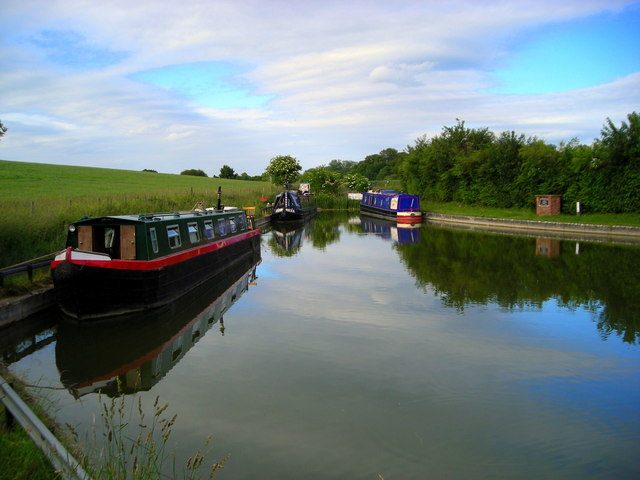
Image: © Mark Percy Taken: 29 Jun 2013
The eastern section of the Wendover Arm comes to an abrupt end at this basin, marking the limit of restoration work carried out in 2004.
Images are licensed for reuse under creativecommons.org/licenses/by-sa/2.0
Image Location
Latitude
51.807449
Longitude
-0.673408