Modern drain grid, Dulwich
Introduction
The photograph on this page of Modern drain grid, Dulwich by Christopher Hilton as part of the Geograph project.
The Geograph project started in 2005 with the aim of publishing, organising and preserving representative images for every square kilometre of Great Britain, Ireland and the Isle of Man.

There are currently over 7.5m images from over 14,400 individuals and you can help contribute to the project by visiting https://www.geograph.org.uk
Modern drain grid, Dulwich
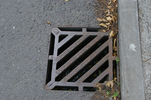
Image: © Christopher Hilton Taken: 2 Jun 2013
I suspect (and hope) that I'm not alone in contributors to Geograph in reading drain grids: what they say often opens up layers of a place's administrative past. In this case, rather than the writing identifying a local ironworks or the administrative body that put it there, as one would expect from a nineteenth century grid, we have a standardised drain-grid supplied by a manufacturer interchangeably to any location, whose lettering includes (the first time I've seen this on a grid) a URL.
Images are licensed for reuse under creativecommons.org/licenses/by-sa/2.0
Image Location
Latitude
51.437643
Longitude
-0.079413