Footpath at Middle Pill
Introduction
The photograph on this page of Footpath at Middle Pill by Derek Harper as part of the Geograph project.
The Geograph project started in 2005 with the aim of publishing, organising and preserving representative images for every square kilometre of Great Britain, Ireland and the Isle of Man.

There are currently over 7.5m images from over 14,400 individuals and you can help contribute to the project by visiting https://www.geograph.org.uk
Footpath at Middle Pill
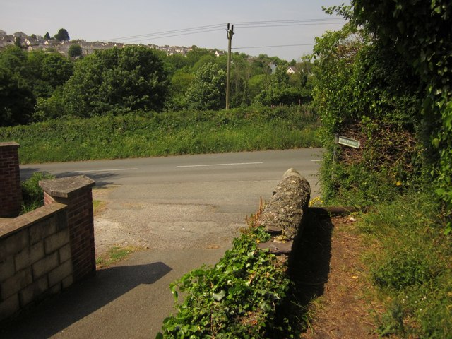
Image: © Derek Harper Taken: 7 Jun 2013
Path number 636/14/1 joins the lane at Cross Park Cottage above Salt Mill.
Images are licensed for reuse under creativecommons.org/licenses/by-sa/2.0
Image Location
Latitude
50.41602
Longitude
-4.216976