Abutment of a bridge
Introduction
The photograph on this page of Abutment of a bridge by John Baker as part of the Geograph project.
The Geograph project started in 2005 with the aim of publishing, organising and preserving representative images for every square kilometre of Great Britain, Ireland and the Isle of Man.

There are currently over 7.5m images from over 14,400 individuals and you can help contribute to the project by visiting https://www.geograph.org.uk
Abutment of a bridge
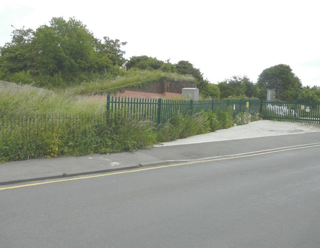
Image: © John Baker Taken: 23 Jun 2013
Seen from Old Bridge Road, the bridge would have carried The Canterbury to Whitstable Railway (nicknamed The Crab and Winkle) over the road and main railway line. It was opened on 3 May 1830 with stations at Canterbury West and Whitstable Harbour only. Three further stations were opened during the 20th century at Blean and Tyler Hill Halt on 13 June 1908, South Street Halt on 1 July 1911 and Tankerton Halt on 1 July 1914. The railway was closed to passengers on 31 December 1930 and to all traffic on 1 December 1952. However, the following year it was reopened from 6-28 February to carry essential services from Canterbury to Whitstable, as a result of the severe coastal flooding that occurred along the east coast of the UK early in 1953.
Images are licensed for reuse under creativecommons.org/licenses/by-sa/2.0
Image Location
Latitude
51.357915
Longitude
1.036391