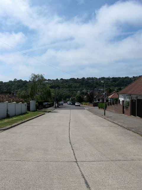
Coombe Rise, Findon Valley
Introduction
The photograph on this page of Coombe Rise, Findon Valley by Simon Carey as part of the Geograph project.
The Geograph project started in 2005 with the aim of publishing, organising and preserving representative images for every square kilometre of Great Britain, Ireland and the Isle of Man.
There are currently over 7.5m images from over 14,400 individuals and you can help contribute to the project by visiting https://www.geograph.org.uk

Image: © Simon Carey Taken: 30 Jun 2013
A residential road that links Findon Road, the A24, with Shepherds Mead. The hedgerow of the gardens to the rear of the houses on the left is the old parish boundary between Findon and Broadwater both of which are now part of Worthing whose council developed the suburb once it acquired the land in 1933. Salvington Hill is on the other side of the valley.

