Southern boundary sign, Llandrindod Wells
Introduction
The photograph on this page of Southern boundary sign, Llandrindod Wells by Jaggery as part of the Geograph project.
The Geograph project started in 2005 with the aim of publishing, organising and preserving representative images for every square kilometre of Great Britain, Ireland and the Isle of Man.

There are currently over 7.5m images from over 14,400 individuals and you can help contribute to the project by visiting https://www.geograph.org.uk
Southern boundary sign, Llandrindod Wells
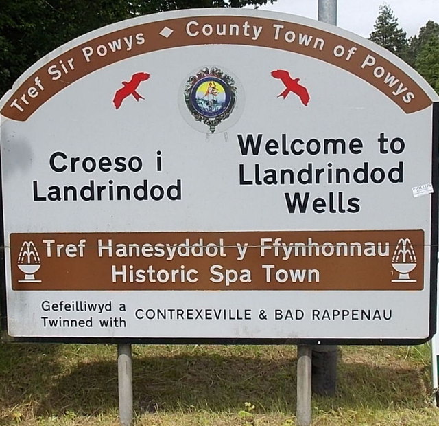
Image: © Jaggery Taken: 30 Jun 2013
The boundary sign is here. http://www.geograph.org.uk/photo/3538019 The sign shows that Llandrindod Wells is the County Town of Powys. Depicted are two red kites, birds rarely seen elsewhere in Britain, but thriving here. The historic spa town is twinned with Contrexeville (a health resort in France) and Bad Rappenau (a spa town in Germany).
Images are licensed for reuse under creativecommons.org/licenses/by-sa/2.0
Image Location
Latitude
52.227256
Longitude
-3.386576