Stroud Ambulance Station
Introduction
The photograph on this page of Stroud Ambulance Station by Jaggery as part of the Geograph project.
The Geograph project started in 2005 with the aim of publishing, organising and preserving representative images for every square kilometre of Great Britain, Ireland and the Isle of Man.

There are currently over 7.5m images from over 14,400 individuals and you can help contribute to the project by visiting https://www.geograph.org.uk
Stroud Ambulance Station
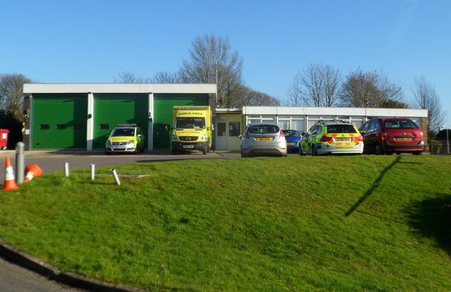
Image: © Jaggery Taken: 15 Jan 2012
Set back from the west side of Paganhill Lane, between the fire station http://www.geograph.org.uk/photo/3537697 and railway lines.
Images are licensed for reuse under creativecommons.org/licenses/by-sa/2.0
Image Location


Leaflet Map data © OpenStreetMap
Latitude
51.745975
Longitude
-2.239378