Bost Hill, High Salvington
Introduction
The photograph on this page of Bost Hill, High Salvington by Simon Carey as part of the Geograph project.
The Geograph project started in 2005 with the aim of publishing, organising and preserving representative images for every square kilometre of Great Britain, Ireland and the Isle of Man.

There are currently over 7.5m images from over 14,400 individuals and you can help contribute to the project by visiting https://www.geograph.org.uk
Bost Hill, High Salvington
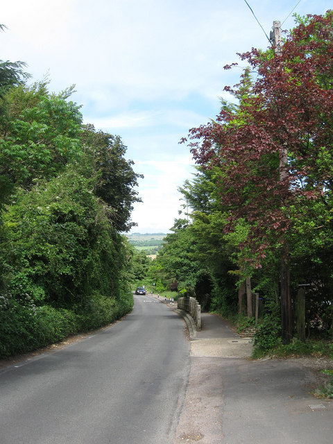
Image: © Simon Carey Taken: 30 Jun 2013
An old lane that heads down the east slope of Salvington Hill to the A24 in Findon Valley. For a number years it was no known as Paygate Lane after the tollhouse that was located at the eastern junction.
Images are licensed for reuse under creativecommons.org/licenses/by-sa/2.0
Image Location
Latitude
50.849909
Longitude
-0.405397