Furzeholme, High Salvington
Introduction
The photograph on this page of Furzeholme, High Salvington by Simon Carey as part of the Geograph project.
The Geograph project started in 2005 with the aim of publishing, organising and preserving representative images for every square kilometre of Great Britain, Ireland and the Isle of Man.

There are currently over 7.5m images from over 14,400 individuals and you can help contribute to the project by visiting https://www.geograph.org.uk
Furzeholme, High Salvington
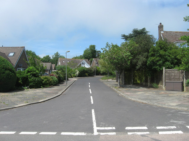
Image: © Simon Carey Taken: 30 Jun 2013
A cul de sac off Furze Road that was developed in the 1960s in the grounds of a former large house of the same name. The house still exists and is located around the corner.
Images are licensed for reuse under creativecommons.org/licenses/by-sa/2.0
Image Location
Latitude
50.849043
Longitude
-0.407841