Salvington Hill, High Salvington
Introduction
The photograph on this page of Salvington Hill, High Salvington by Simon Carey as part of the Geograph project.
The Geograph project started in 2005 with the aim of publishing, organising and preserving representative images for every square kilometre of Great Britain, Ireland and the Isle of Man.

There are currently over 7.5m images from over 14,400 individuals and you can help contribute to the project by visiting https://www.geograph.org.uk
Salvington Hill, High Salvington
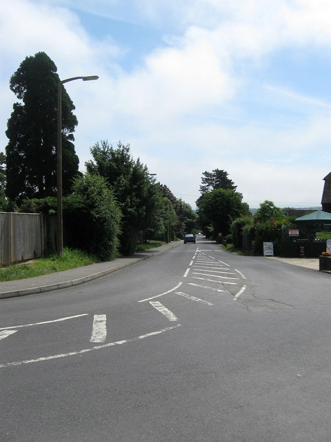
Image: © Simon Carey Taken: 30 Jun 2013
Viewed from the crossroads with Furze Road and Honeysuckle Lane. The latter along with this road was originally an old coaching route that started at Durrington and crossed the Downs to Storrington and Sullington. The road is now the main access route for the hamlet of High Salvington.
Images are licensed for reuse under creativecommons.org/licenses/by-sa/2.0
Image Location
Latitude
50.84645
Longitude
-0.408924