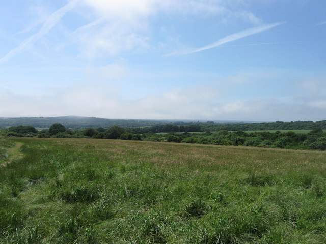
The Sanctuary
Introduction
The photograph on this page of The Sanctuary by Simon Carey as part of the Geograph project.
The Geograph project started in 2005 with the aim of publishing, organising and preserving representative images for every square kilometre of Great Britain, Ireland and the Isle of Man.
There are currently over 7.5m images from over 14,400 individuals and you can help contribute to the project by visiting https://www.geograph.org.uk

Image: © Simon Carey Taken: 30 Jun 2013
The name of the nature reserve that covers most of Salvington Hill that was saved from the development by local residents during the 1930s and is now an open space for the public to enjoy. In the distance to the left is Highdown Hill which is under a little bit of low cloud or mist and was a feature of the weather system on this day whereby the coast was far cooler and cloudier but a mile or so inland the skies were more or less clear.

