Western end of Gravel Hill Drive, Kington
Introduction
The photograph on this page of Western end of Gravel Hill Drive, Kington by Jaggery as part of the Geograph project.
The Geograph project started in 2005 with the aim of publishing, organising and preserving representative images for every square kilometre of Great Britain, Ireland and the Isle of Man.

There are currently over 7.5m images from over 14,400 individuals and you can help contribute to the project by visiting https://www.geograph.org.uk
Western end of Gravel Hill Drive, Kington
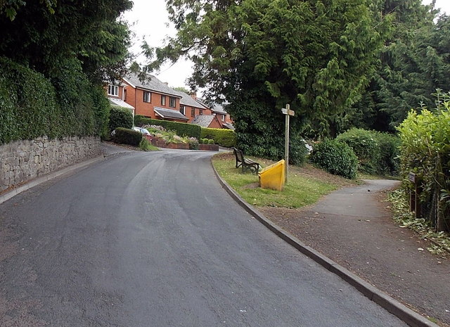
Image: © Jaggery Taken: 26 Jun 2013
Viewed from near the corner of Board School Lane. http://www.geograph.org.uk/photo/3536975 The path on the right leads to the route of a former tramway.
Images are licensed for reuse under creativecommons.org/licenses/by-sa/2.0
Image Location
Latitude
52.205228
Longitude
-3.026042