Bridleway to Shalford
Introduction
The photograph on this page of Bridleway to Shalford by Roger Jones as part of the Geograph project.
The Geograph project started in 2005 with the aim of publishing, organising and preserving representative images for every square kilometre of Great Britain, Ireland and the Isle of Man.

There are currently over 7.5m images from over 14,400 individuals and you can help contribute to the project by visiting https://www.geograph.org.uk
Bridleway to Shalford
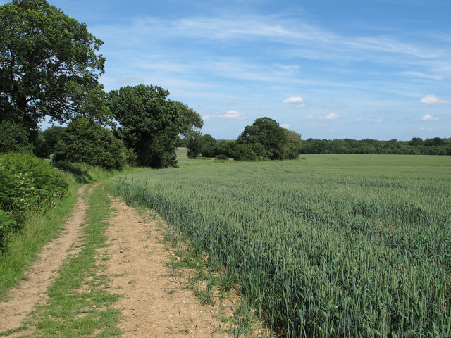
Image: © Roger Jones Taken: 30 Jun 2013
Bridleway running between Hunt's Farm and Shalford Village. On the right is a cereal crop.
Images are licensed for reuse under creativecommons.org/licenses/by-sa/2.0
Image Location


Leaflet Map data © OpenStreetMap
Latitude
51.931387
Longitude
0.488399