Orchard Copse and Farmland near Curridge
Introduction
The photograph on this page of Orchard Copse and Farmland near Curridge by Pam Brophy as part of the Geograph project.
The Geograph project started in 2005 with the aim of publishing, organising and preserving representative images for every square kilometre of Great Britain, Ireland and the Isle of Man.

There are currently over 7.5m images from over 14,400 individuals and you can help contribute to the project by visiting https://www.geograph.org.uk
Orchard Copse and Farmland near Curridge
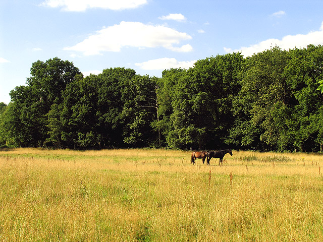
Image: © Pam Brophy Taken: 8 Aug 2005
This square is characterised by farmland and woodland. This view of land north of Curridge Road looks towards Orchard Copse.
Images are licensed for reuse under creativecommons.org/licenses/by-sa/2.0
Image Location


Leaflet Map data © OpenStreetMap
Latitude
51.438899
Longitude
-1.306972