Hereford & Gloucester Canal - from under Cold Harbour Bridge
Introduction
The photograph on this page of Hereford & Gloucester Canal - from under Cold Harbour Bridge by Chris Allen as part of the Geograph project.
The Geograph project started in 2005 with the aim of publishing, organising and preserving representative images for every square kilometre of Great Britain, Ireland and the Isle of Man.

There are currently over 7.5m images from over 14,400 individuals and you can help contribute to the project by visiting https://www.geograph.org.uk
Hereford & Gloucester Canal - from under Cold Harbour Bridge
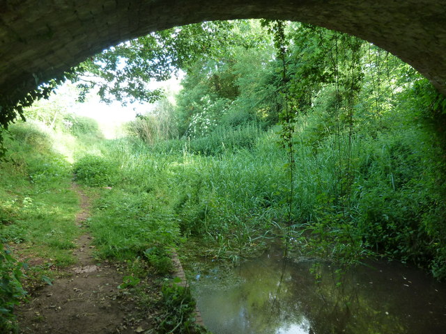
Image: © Chris Allen Taken: 29 Jun 2013
The 34 mile canal was built between 1793 and 1845 but closed in 1881. There are plans for its restoration to navigation. Just north of this bridge is the 2192 yard Oxenhall tunnel that is no longer open throughout.
Images are licensed for reuse under creativecommons.org/licenses/by-sa/2.0
Image Location
Latitude
51.944518
Longitude
-2.422868