Road junction at Taw Green
Introduction
The photograph on this page of Road junction at Taw Green by David Smith as part of the Geograph project.
The Geograph project started in 2005 with the aim of publishing, organising and preserving representative images for every square kilometre of Great Britain, Ireland and the Isle of Man.

There are currently over 7.5m images from over 14,400 individuals and you can help contribute to the project by visiting https://www.geograph.org.uk
Road junction at Taw Green
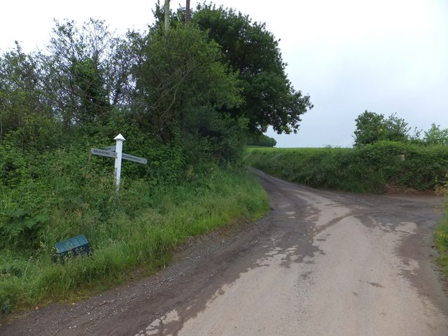
Image: © David Smith Taken: 21 Jun 2013
The road to the left does not lead through the undergrowth, despite the appearance of the sign's direction finger. To the right is a farm track, Stabdon Lane.
Images are licensed for reuse under creativecommons.org/licenses/by-sa/2.0
Image Location
Latitude
50.842651
Longitude
-3.898647