Fields on the east side of the A483, Howey
Introduction
The photograph on this page of Fields on the east side of the A483, Howey by Jaggery as part of the Geograph project.
The Geograph project started in 2005 with the aim of publishing, organising and preserving representative images for every square kilometre of Great Britain, Ireland and the Isle of Man.

There are currently over 7.5m images from over 14,400 individuals and you can help contribute to the project by visiting https://www.geograph.org.uk
Fields on the east side of the A483, Howey
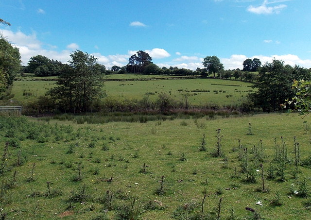
Image: © Jaggery Taken: 30 Jun 2013
A view SE from the A483 between the northern boundary of Howey and the southern boundary of Llandrindod Wells.
Images are licensed for reuse under creativecommons.org/licenses/by-sa/2.0
Image Location
Latitude
52.223301
Longitude
-3.386453