Auchnacloich
Introduction
The photograph on this page of Auchnacloich by Lis Burke as part of the Geograph project.
The Geograph project started in 2005 with the aim of publishing, organising and preserving representative images for every square kilometre of Great Britain, Ireland and the Isle of Man.

There are currently over 7.5m images from over 14,400 individuals and you can help contribute to the project by visiting https://www.geograph.org.uk
Auchnacloich
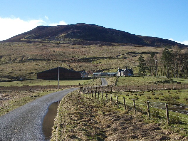
Image: © Lis Burke Taken: 3 Mar 2007
The farm buildings as viewed from the road leading to Easter and Wester Shian. The hill behind the farm is Creag an Duin.
Images are licensed for reuse under creativecommons.org/licenses/by-sa/2.0
Image Location
Latitude
56.531242
Longitude
-3.883339