The Gap of the North from Moyry Castle
Introduction
The photograph on this page of The Gap of the North from Moyry Castle by Eric Jones as part of the Geograph project.
The Geograph project started in 2005 with the aim of publishing, organising and preserving representative images for every square kilometre of Great Britain, Ireland and the Isle of Man.

There are currently over 7.5m images from over 14,400 individuals and you can help contribute to the project by visiting https://www.geograph.org.uk
The Gap of the North from Moyry Castle
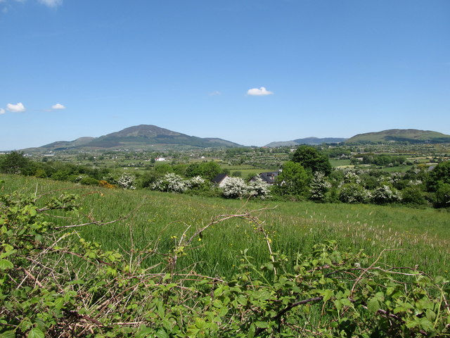
Image: © Eric Jones Taken: 7 Jun 2013
Road and railway routes between Leinster and Ulster are channelled through the Gap and since time immemorial the Gap has been the scene of many battles. It has been pivotal in both history and folklore; it was here that Cúchulainn defended Ulaidh from the forces of Connacht and it remained under the control of the Irish until the 1600s when Mountjoy built his castle at Moyry. The hills of the Ring of Gullion provides the background.
Images are licensed for reuse under creativecommons.org/licenses/by-sa/2.0
Image Location
Latitude
54.087402
Longitude
-6.387918