Lockup garages, Tillery Street, Abertillery
Introduction
The photograph on this page of Lockup garages, Tillery Street, Abertillery by Jaggery as part of the Geograph project.
The Geograph project started in 2005 with the aim of publishing, organising and preserving representative images for every square kilometre of Great Britain, Ireland and the Isle of Man.

There are currently over 7.5m images from over 14,400 individuals and you can help contribute to the project by visiting https://www.geograph.org.uk
Lockup garages, Tillery Street, Abertillery
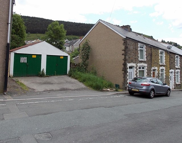
Image: © Jaggery Taken: 24 Jun 2013
There is no gap in the numbering of adjoining houses which suggests that these garages may originally have been stables, or have been built on the site of demolished stables.
Images are licensed for reuse under creativecommons.org/licenses/by-sa/2.0
Image Location
Latitude
51.734007
Longitude
-3.133498