Narrow field near Wheelers Farm
Introduction
The photograph on this page of Narrow field near Wheelers Farm by Robin Webster as part of the Geograph project.
The Geograph project started in 2005 with the aim of publishing, organising and preserving representative images for every square kilometre of Great Britain, Ireland and the Isle of Man.

There are currently over 7.5m images from over 14,400 individuals and you can help contribute to the project by visiting https://www.geograph.org.uk
Narrow field near Wheelers Farm
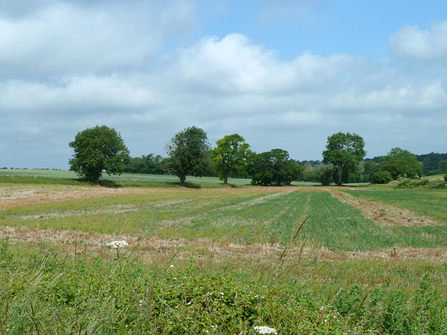
Image: © Robin Webster Taken: 30 Jun 2013
The local watercourse here currently forms the right margin of the field, but old maps show a parish boundary straggling erratically along the middle of the field, suggesting that once it was a marshy area.
Images are licensed for reuse under creativecommons.org/licenses/by-sa/2.0
Image Location


Leaflet Map data © OpenStreetMap
Latitude
51.790199
Longitude
0.185373