Penybont Road scout hall, Abertillery
Introduction
The photograph on this page of Penybont Road scout hall, Abertillery by Jaggery as part of the Geograph project.
The Geograph project started in 2005 with the aim of publishing, organising and preserving representative images for every square kilometre of Great Britain, Ireland and the Isle of Man.

There are currently over 7.5m images from over 14,400 individuals and you can help contribute to the project by visiting https://www.geograph.org.uk
Penybont Road scout hall, Abertillery
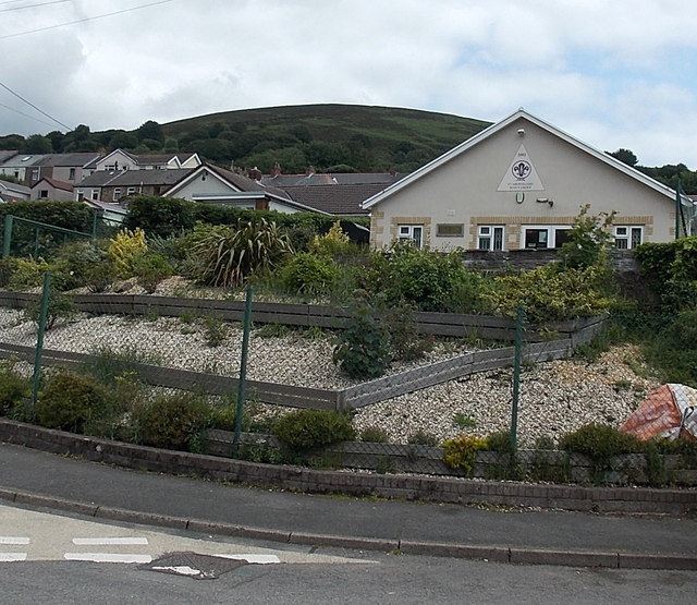
Image: © Jaggery Taken: 24 Jun 2013
Viewed across Victor Road. The year in the triangular name sign is 2002. The entrance to the scout hall is from Penybont Road near the New Bridgend. http://www.geograph.org.uk/photo/3535548
Images are licensed for reuse under creativecommons.org/licenses/by-sa/2.0
Image Location
Latitude
51.738221
Longitude
-3.134762