Penybont Road, Cwmtillery
Introduction
The photograph on this page of Penybont Road, Cwmtillery by Jaggery as part of the Geograph project.
The Geograph project started in 2005 with the aim of publishing, organising and preserving representative images for every square kilometre of Great Britain, Ireland and the Isle of Man.

There are currently over 7.5m images from over 14,400 individuals and you can help contribute to the project by visiting https://www.geograph.org.uk
Penybont Road, Cwmtillery
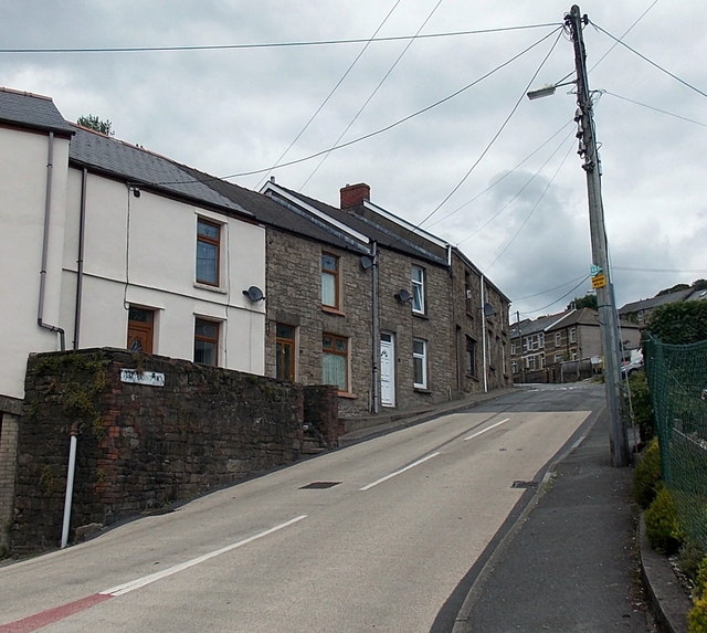
Image: © Jaggery Taken: 24 Jun 2013
Penybont Road climbs away from The New Bridgend pub http://www.geograph.org.uk/photo/3535548 at the corner of Victor Road.
Images are licensed for reuse under creativecommons.org/licenses/by-sa/2.0
Image Location
Latitude
51.738763
Longitude
-3.134486