No Man's Land
Introduction
The photograph on this page of No Man's Land by Simon Carey as part of the Geograph project.
The Geograph project started in 2005 with the aim of publishing, organising and preserving representative images for every square kilometre of Great Britain, Ireland and the Isle of Man.

There are currently over 7.5m images from over 14,400 individuals and you can help contribute to the project by visiting https://www.geograph.org.uk
No Man's Land
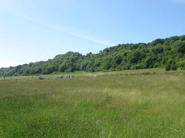
Image: © Simon Carey Taken: 30 Jun 2013
The name of the field according to Findon's 1839 tithe map that is still marked on the map today. The name would often occur in areas where a number of undefined manorial or parish boundaries met. In this case the old parishes of Durrington, West Tarring and Findon met at this point. West Tarring was amalgamate with Durrington in 1902, Durrington was joined to Worthing borough in 1929 whilst the southern end of Findon followed in 1933. Interestingly there is another area called No Man's Land on the eastern boundary of the parish next to the point where it meets Steyning and Sompting. Bost Hill car park is on the left which serves those wishing to use The Gallops open space which heads southwards between Salvington hill and the suburb of Findon Valley.
Images are licensed for reuse under creativecommons.org/licenses/by-sa/2.0
Image Location
Latitude
50.852267
Longitude
-0.406879