Lane to Colville Hall
Introduction
The photograph on this page of Lane to Colville Hall by Robin Webster as part of the Geograph project.
The Geograph project started in 2005 with the aim of publishing, organising and preserving representative images for every square kilometre of Great Britain, Ireland and the Isle of Man.

There are currently over 7.5m images from over 14,400 individuals and you can help contribute to the project by visiting https://www.geograph.org.uk
Lane to Colville Hall
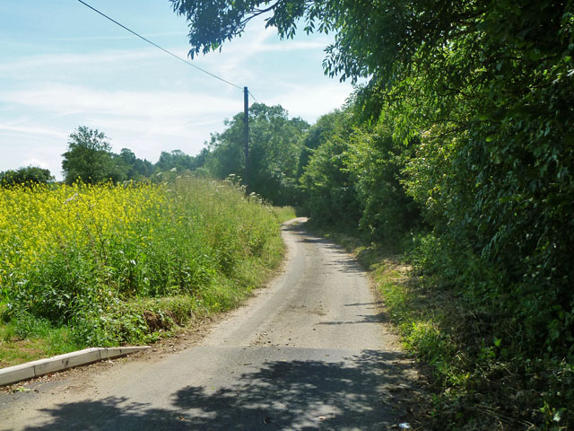
Image: © Robin Webster Taken: 30 Jun 2013
A dead-end also serving one or two other houses.
Images are licensed for reuse under creativecommons.org/licenses/by-sa/2.0
Image Location
Latitude
51.799795
Longitude
0.253426