The upper Rhymney Valley
Introduction
The photograph on this page of The upper Rhymney Valley by Robin Drayton as part of the Geograph project.
The Geograph project started in 2005 with the aim of publishing, organising and preserving representative images for every square kilometre of Great Britain, Ireland and the Isle of Man.

There are currently over 7.5m images from over 14,400 individuals and you can help contribute to the project by visiting https://www.geograph.org.uk
The upper Rhymney Valley
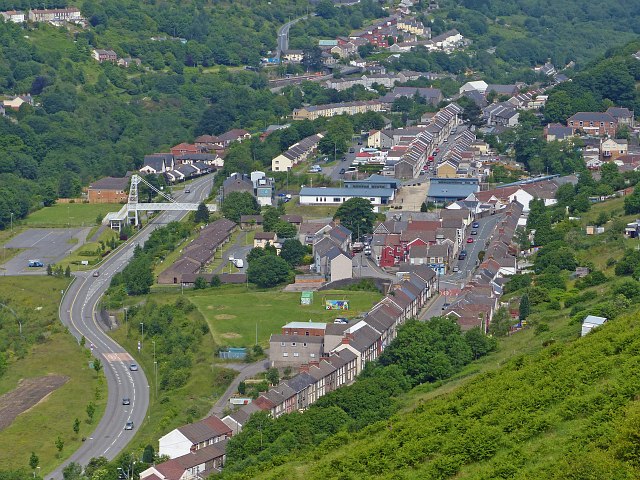
Image: © Robin Drayton Taken: 27 Jun 2013
Overlooking the valley communities of Cwmsyfiog, Elliot's Town, New Tredegar and Tirphil. Centre left is the footbridge with reproduction of colliery winding gear http://www.geograph.org.uk/photo/504024 .
Images are licensed for reuse under creativecommons.org/licenses/by-sa/2.0
Image Location
Latitude
51.714861
Longitude
-3.23116