Aerial, Bourne End
Introduction
The photograph on this page of Aerial, Bourne End by Bikeboy as part of the Geograph project.
The Geograph project started in 2005 with the aim of publishing, organising and preserving representative images for every square kilometre of Great Britain, Ireland and the Isle of Man.

There are currently over 7.5m images from over 14,400 individuals and you can help contribute to the project by visiting https://www.geograph.org.uk
Aerial, Bourne End
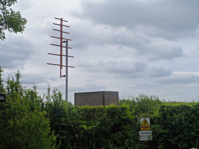
Image: © Bikeboy Taken: 29 Jun 2013
Labelled on the O.S. map as "Radio Station-Aircraft", I'm not sure exactly what this is for.
Images are licensed for reuse under creativecommons.org/licenses/by-sa/2.0
Image Location
Latitude
52.089447
Longitude
-0.599802