The Parish Church of All Saints
Introduction
The photograph on this page of The Parish Church of All Saints by David P Howard as part of the Geograph project.
The Geograph project started in 2005 with the aim of publishing, organising and preserving representative images for every square kilometre of Great Britain, Ireland and the Isle of Man.

There are currently over 7.5m images from over 14,400 individuals and you can help contribute to the project by visiting https://www.geograph.org.uk
The Parish Church of All Saints
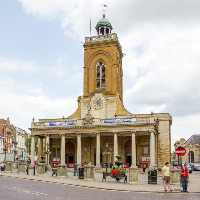
Image: © David P Howard Taken: 26 Jun 2013
At the junction of Drapery and George Row. The building is Grade 1 listed. http://www.britishlistedbuildings.co.uk/en-231853-church-of-all-saints-northamptonshire
Images are licensed for reuse under creativecommons.org/licenses/by-sa/2.0
Image Location
Latitude
52.236994
Longitude
-0.896839