Main Street, Irton
Introduction
The photograph on this page of Main Street, Irton by Barbara Carr as part of the Geograph project.
The Geograph project started in 2005 with the aim of publishing, organising and preserving representative images for every square kilometre of Great Britain, Ireland and the Isle of Man.

There are currently over 7.5m images from over 14,400 individuals and you can help contribute to the project by visiting https://www.geograph.org.uk
Main Street, Irton
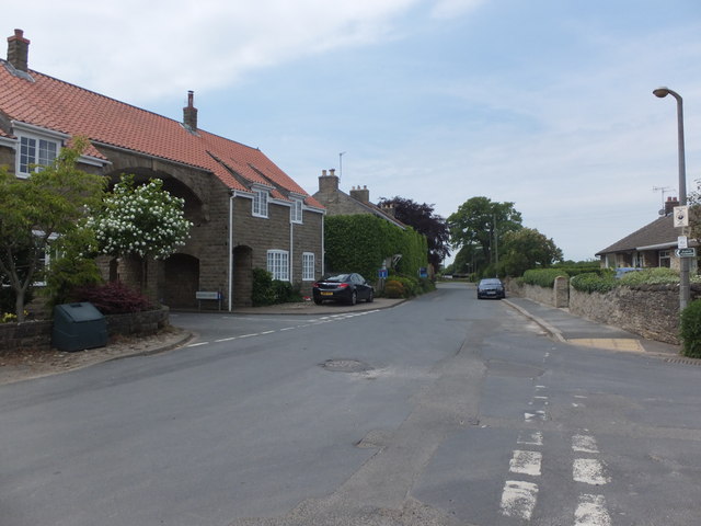
Image: © Barbara Carr Taken: 19 Jun 2013
Looking westward along Main Street at its junction with Porritt Lane. The signposted footpath goes through the arch of Grange Court and on into meadowland, see Image and Image
Images are licensed for reuse under creativecommons.org/licenses/by-sa/2.0
Image Location
Latitude
54.24299
Longitude
-0.451013